
Land Survey Ventura is the Leading Survey Firm in Ventura County, CA
What We Do Best
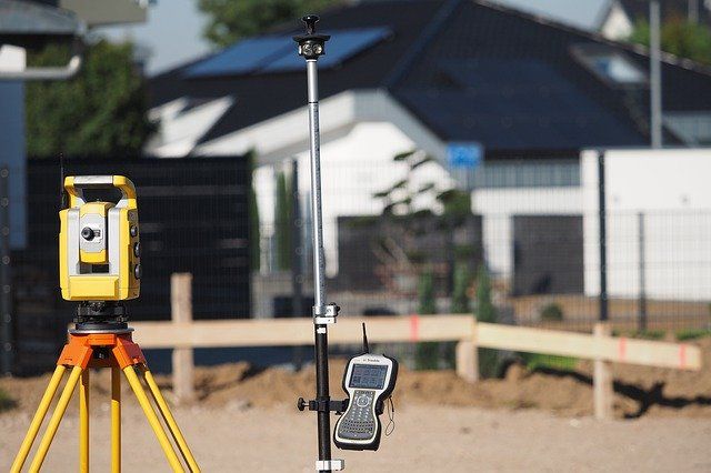
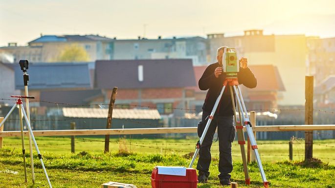
In land surveying, we locate and measure both man-made and natural features leveraging mathematics, geometry, and other “hard” sciences. To be clear, “hard sciences” doesn’t (necessarily) mean that the subject is difficult. “Hard science” is a colloquial term for the perceived methodological rigor, exactness, and objectivity. This differentiates itself from “natural sciences,” which are mostly social sciences. With the use of specialized tools, we can measure property boundaries, elevation, and angles.
Site plan surveys are most often requested to obtain building permits for property improvements. However, there are other reasons to obtain this survey besides just getting a permit. For example, if the site is on a flood plain, an engineer may need to look at a site plan in order to come up with a strategy for grading the land.
There are multiple reasons you might need to have a land survey done. Each one has its own purpose and require specific instruments.
Reasons for a land survey include:
- Locating your property boundaries.
- Satisfying the requirements of your mortgage lender.
- It may be requested from your mortgage insurance.
- Settling disputes over property lines.
- You may want a sense of knowing what exactly you are buying.
- Finding the precise locations of easements.
- You may want to make improvements or build features on your land.
- You or your contractor may need help in finding utilities.
The seven different kinds of land surveys:
1. ALTA/ACSM Survey
This type of survey is utilized to provide a title company and/or mortgage lender with the needed location and other survey results to issue an American Land Title Association or Extended Coverage Title Insurance policy. In this type of survey we generally show the relationship between existing improvements on a particular parcel of land relative to the boundaries set forth in the property’s deed. Many cities and municipalities now require ever increasing distance from the property lines for the approval of improvements . This is one of our most extensive types of surveying because an ALTA/ACSM survey includes an exhaustive consideration of all of the features and characteristics of the property.
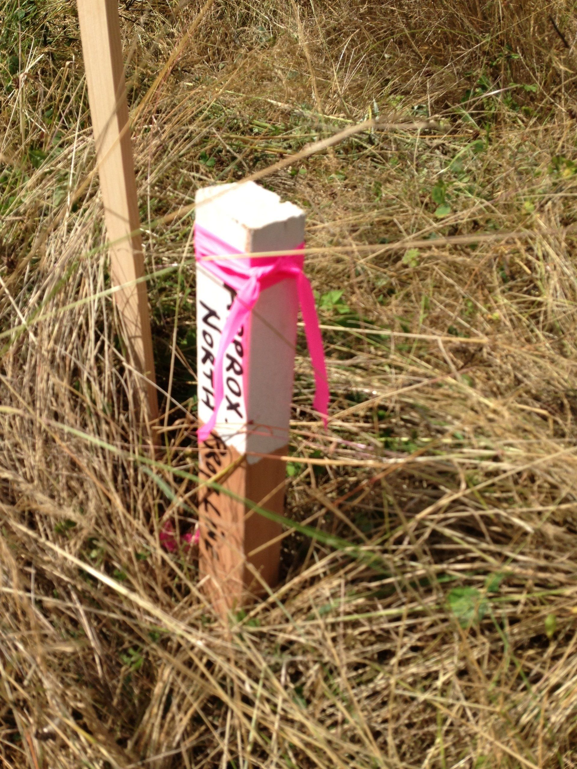
2. Boundary Survey
This type of land survey is used to locate the boundary lines and the corners of as specific parcel of land. We conduct both record and field research, including any on-site measurements and any additional computations we need to establish the correct boundary lines, as called for in state statutory laws. A boundary survey often also involves finding and marking the associated easements and encroachments.
3. Construction Survey
Construction surveys require literally staking out the locations of structures on the property, in particular utilities, roads, walls, and buildings. By taking out these locations, we provide construction workers the directions they need to implement the improvements called for in the development plans. A construction survey may also require the incorporation of horizontal and vertical grading, and an “as built” survey, which measures and locates all existing buildings and improvements on the subject property.
4. Location Survey
There is a lot of overlap between a boundary survey and a location survey. However, our location survey provides more information regarding the location of all interior improvements. Location surveys are most often used to meet the stated requirements of a mortgage loan application or zoning permit.
Recommended Products in this Category:
5. Site Planning Survey
Many times the development permit application approval process will require a site planning survey. These land surveys combine the considerations and techniques of both topographic and boundary surveys for the site plan. Our site planning survey is most often used for the planning of design improvements and other developments prior to construction commencing.
We see site planning surveys frequently implemented in connection with projects as diverse as commercial & industrial sites, stores, streets, and highways, to the design of house lots and subdivisions.
6. Subdivision Survey
Most people are familiar with the term, “subdivision.” as a synonym for a new neighborhood. The process of dividing the parcel of land is the subject of a subdivision survey (also referred to as a “partition survey” ). We divide a certain parcel of land into smaller tracts, lots, or estates. In subdivision surveys we also design streets and drainages, which must be “recorded” by the applicable state and local municipalities and their agencies.
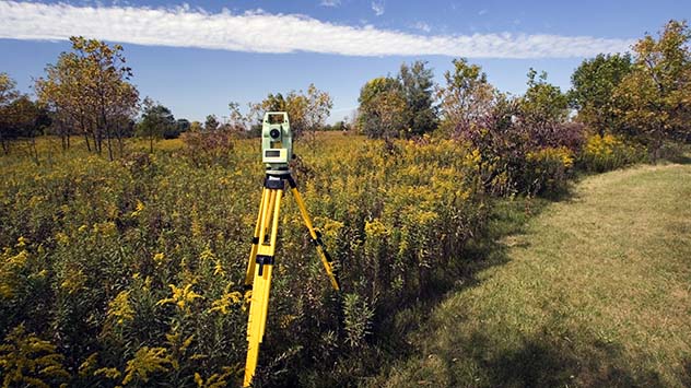
7. Topographic Survey
Finally, a topographic survey is characterized by the lack of consideration for property boundaries. Here, its all about the land. The purpose of a topographic survey is to identify and locate man-made and natural features in the topography of a parcel of land. These features may include contours, elevations, streams, trees, improvements, buildings, utilities, or fences. Often a topographic survey is required by a local or state municipality or its agencies. It might also be used by architects and engineers for the planning of site developments or improvements.
Topographic surveys are usually done a combination of aerial (including drone) photography and the traditional field methods.
When you have a need for a professional firm to apply these land survey principles together with the necessary equipment, please don’t hesitate to give us a call .
Request a quote
Contact Us


Who Land Survey Ventura is and what we do.
Land Survey Ventura was created to serve the greater Ventura County area of southern California. We provide top quality land survey services to the public and private sectors. We are professional and efficient, using state-of-the-art technology. If you have a plan in mind, give us a call!
What You Should Know:
About Your Property
Do you have need to know or prove the locations of your property lines? We can do a Boundary Survey (sometimes know a “property Survey” to locate your property boundaries. We will memorialize the survey results with the placement of mental pins on the boundary lines.
Your Plans and Proposed Buildings
You could be planning a new home, office building for your company, or other commercial or residential project. You may either want or need a Construction Survey, a Site Planning Survey, or a Location Survey.
When Splitting or Selling Real Property
If you are splitting property into pieces or otherwise changing the existing property lines, you may be required, or at least find your transaction far more precise with a Subdivision Survey (also called a Lot Line Revision).
How We Work
At Land Survey Ventura we consider ourselves to be a smaller, flat structured, and efficient, land surveying firm. At all times, and through every phase, your proposed project will under the supervision and direction of a Licensed Land Surveyor. From the first contact and initial , initial consulting, all the way to the final finished drawing, one of our experienced professionals will perform the research, walk the ground, perform the survey and draft the map.
Considerations With Multi-Family Residential Construction Projects
Many investors across southern California and in the Ventura County area in particular, more and more are considering adding or expanding multi-family residential construction projects to or within their portfolios, seeking the higher potential earnings of multifamily.
Timing is a critical factor during multi-family building projects. We always urge contractors to allow time during the preconstruction phase for any number of required surveys, including flood planning, feasibility studies, boundary line disputes, site and construction surveys as needed or desired by the project managers and/of the relevant municipality The timing planned precisely ensures all of the project’s stakeholders are all on the “same page.”
Environmental Surveys
Environmental surveyors are a sub-specialty of the larger land survey business. These specialists use traditional surveying processes and techniques to understand and illustrate both the potential impact of environmental factors on real estate and construction projects, and conversely, what impact the real estate and construction project might have on the surrounding environment.
Boundary Dispute Settlement
A lot of people only seek out the expertise of a professional surveyor when it comes to boundary and property description issues. These issues are best addressed sooner rather than later by a highly qualified surveyor, like Land Survey Ventura.
When hiring a professional land surveyor, landowners commonly are ultimately seeking professional assistance in locating and proving the positions of property (or boundry) lines. Determining the actual, legal boundaries of a property is a critical piece of information to have before you build a wall or fence, add on to your home, business, or investment property, or even if you simply pave your own driveway.
Frequently, the survey will indicate that you (and perhaps your neighbors) have been operating under very wrong assumptions. You both may actually have the assumed position of the boundary line between your properties completely wrong. Its good to sort this out before you have a wall or fence, or additions on your building. This way, you can make sure you are building and improving your property, and not your neighbor's property. A boundary line survey can also check that the legal description of your property on your deed is accurate.
Rights-of-Way and Easements
A land survey will show all the conditions imposed by law, or local government that may be shown on your title report and possibly other agreements.
As an example, if your property blocks an adjacent property owner’s access to the nearest public road, there very well may be an agreement (easement) giving your neighbor the right to cross your property in order to access the street. This information is typically part of the public record of a property.
Affiliated Companies:

The crew at Land Survey Ventura is top notch. They have always been very responsive to both emails and phone calls. They even expedited the return of my plans, which I needed for submission to the city of Thousand Oaks. Their expedited and professional approach allowed for the timely completion of my office building. Someone was always available to the contractor, architect and all the necessary parties to complete the drainage plan for our property. Finally, Land Survey Venura’s prices were very reasonable.
Stephen C.

While having some work done on my property , I got into a bit of dispute with the owner of a bordering property and needed a very exactly and professional survey done. The guys at Land Survey Ventura were highly responsive from the beginning and did verify property lines. Metz was very responsive. They scheduled my job and a few days later finished the work. Very thorough explanation of all work that was being performed. I expect to have the drawing in a few days.
Roger L.

I first worked with Land Survey Ventura almost a year and a half ago when I was planning to expand our master suite at our home. I found them responsive, on time, professional, and very fairly priced. After some major delays in the project.
With the foundation and retaining walls in place, the city inspector asked for additional surveys and marking pins on the various structural supports and retaining walls. I called up Land Survey Ventura quickly in order to get thigs back on track fast. In less than one day, with a couple of emails and phone calls exchanged , we had the plans to submit to the inspector.