Boundry Survey
What You Need to Know About Boundary Surveys
What is a Boundary Survey
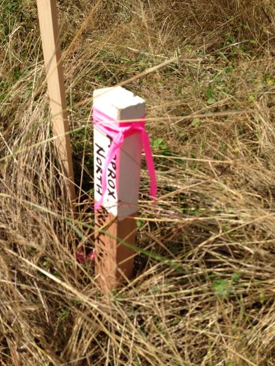
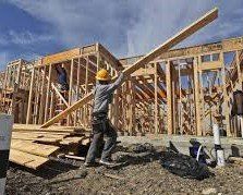
A boundary survey is performed in order to formally define the property limits. The survey focuses on defining the corners of the subject plot of land. A boundary survey is most typically called for before landowners split, buy, or build anything on the piece of property. When a boundary survey is finished, our surveyor will make a drawing of how the plot is laid out and where the boundaries are. This needs to be done by a professional expert so that the survey is done as accurately as possible. Boundary surveys begin with the professional surveyor measuring, marking and drawing a map of the boundary lines of the subject lot. A proper survey will also look at historical records of the property and surrounding land. The historical review is undertaken so that the buyer has objective proof of the boundary limits. Sometimes a surveyor will also speak to the prior owners of the land (if possible) and owners of the bordering property. Everyone sees the field part of a survey but this accounts for just 1/3rd of a complete survey.
Subsequently, field work results are compared to the historical record and information supplied by prior owners. All the of information will be reconciled and the limits of the property are finally concluded. Our surveyor will generate a plan and produce a precise description and the report.
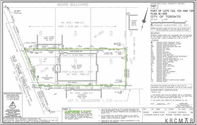
The finished report
will show a plan of the parcel of land, a description of any buildings and a report explaining the boundaries of the property.
Get a free quote
Contact Us